Available Courses
In this course we explore some of the differences between ArcMap and ArcGIS Pro, while emphasizing how to create a new project in ArcGIS Pro. Discover some key variances and learn the essentials in these “Getting Started” lesson. Access to ArcGIS Pro is required for this course. A 21-day free trial may be found on the Esri ArcGIS Pro website.
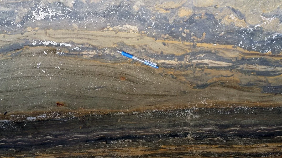
Underground Injection Control (UIC) in California refers to the regulatory framework in place to manage the injection of fluids into underground wells. The UIC program is administered by the California State Water Resources Control Board (SWRCB) and the nine Regional Water Quality Control Boards (RWQCBs) throughout the state. The primary goal of the UIC program is to protect underground sources of drinking water (USDWs) from contamination. This course provides info on best practices.
QGIS, or Quantum GIS, is an open-source software for geospatial information and map creation. It provides a user-friendly interface, supports various data formats, and allows users to add layers, symbolize data, and perform spatial analysis. QGIS is widely used across different fields and platforms. This course offers an introduction to the powerful platform known as QGIS.
Web GIS merges GIS capabilities with web technologies for interactive map creation and sharing. It includes cloud platforms for data storage, server components for GIS service hosting, and APIs for custom web apps. Collaboration, spatial analysis, and device-agnostic map access are facilitated. Notably, a subscription to ArcGIS Online is essential for leveraging these features, emphasizing accessibility and community connectivity within GIS.
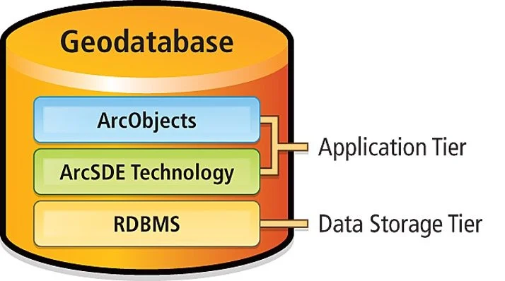
A geodatabase is a spatial database that stores and manages geographic or spatial data. It is a container for holding datasets, such as feature classes, tables, and raster data, along with their relationships, rules, and behaviors. Geodatabases are commonly used in Geographic Information System (GIS) applications for organizing and efficiently managing spatial information. This course teaches best database and table practices.
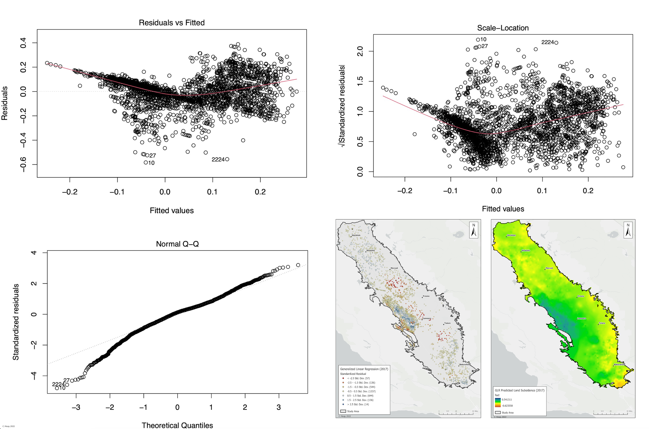
Spatial regression is a statistical technique used to analyze relationships between variables while accounting for spatial dependencies. It considers the spatial autocorrelation of data points, acknowledging that nearby locations may influence each other. This method is valuable for modeling spatial patterns and understanding how the geographical arrangement of observations impacts the relationships between variables. In this course you will learn such techniques and best practices.
Learn essential techniques, including proximity analysis to determine distances between features, overlay analysis for identifying intersections, and surface interpolation for predicting phenomena at unsampled locations. Master suitability modeling, spatial statistics for pattern recognition, space-time analysis for temporal trends, and regression analysis for modeling spatial relationships. Equip yourself with the skills to perform robust spatial analyses and make informed decisions.


